Directions to Knoxville Cemetery AKA New Hope
Greene County, Alabama
|
|
Cemetery Address |
Knoxville, Alabama
|
|
Latitude |
32.96457
|
|
Longitude
|
-87.7969565
|
|
Township/Range/Section
|
T23N R3E S16
|
|
Directions to Cemetery |
I20/59 to exit 52. South on 11/43/7 for 1.5 miles.
|
|
Historic Map Reference
|
Historical Atlas of Alabama, Volume 2, Map 54
-NE
|
|
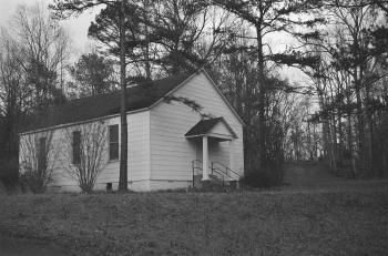
Cemetery Notes
|
This cemetery is also known as New Hope Church Cemetery;
Knoxville Presbyterian Church Cemetery
|
|
|
|
Knoxville Cemetery AKA New Hope
Page 2
|