Directions to Mount Pleasant C.M.E. Church Cemetery
      				Greene  County, Alabama                       
      				
  
				 | 


				| 
      				Cemetery Address | 
      			
      				 
      				Knoxville, Alabama                        
      				 
				 | 				


				| 
      				Latitude | 
      			
      				32.9765141     
      			 | 
      		
            
				| 
      				Longitude
      			 | 
      			
      				-87.7752891    
      				
  
				 | 				


				| 
      				Township/Range/Section 
      			 | 
      			
      				T23N R3E  S15
      				
  
				 | 				


				| 
      				Directions to Cemetery | 
      			
      				I20/59 to exit 52; east on 11/7/43 to CR-220 which is the first turn on left (north); go about 1.2 miles to unnamed road on right (south). Church and cemetery at end of unnamed road.
      				
  
      			 | 				


				| 
      				Historic Map Reference
      			 | 
      			
      				Historical Atlas of Alabama, Volume 2, Map 144 
                    -NE 
      				
  
      			 | 				


				| 
					   
      			 | 


				| 
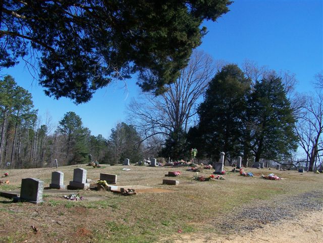
					 Mount Pleasant C.M.E. Church Cemetery, Photo courtesy Juanita Duff. 
					Page 2 
      			 |